Property boundary map

The real boundary of the lot, not a screenshot of one.

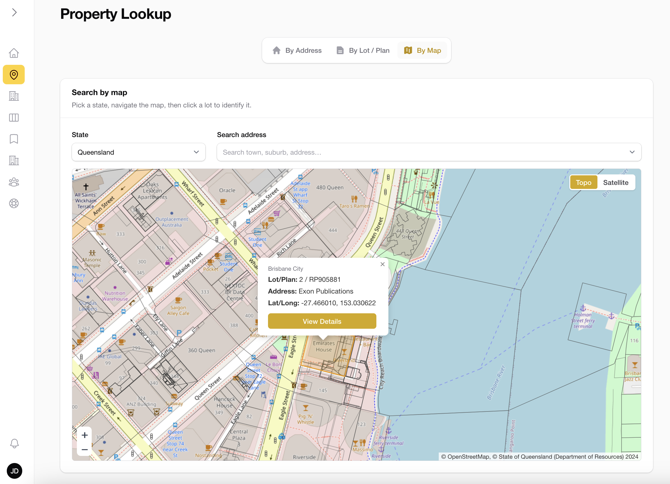
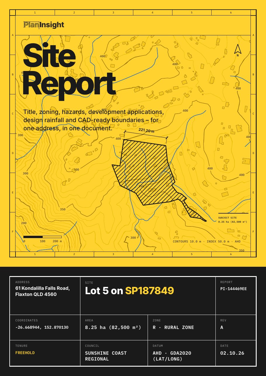
Search the address and see the cadastral boundary from the state's digital cadastre, with the lot and plan, land area and building outlines. Take it as a DXF, or as the Site Report with everything else on the lot.

  • $29 incl. GST
  • One-off
  • No account
  • PDF and DXF
Property boundary drawn on an aerial map with lot details

What you get

From the cadastre, in metres.

The boundary comes from the state's digital cadastral database, the same source the titles office maps from. It is drawn in metres, north up, so it drops straight into a concept plan.

Cadastral boundary

The lot polygon from the state cadastre, with the lot and plan label on it.

Area and tenure

Land area and tenure from the title, so you can check the block is what the listing says.

Building outlines

Mapped building footprints on the lot, so you can see setbacks against the real boundary.

Multiple lots

Addresses with several lots show each one, and you pick the lot you want.

Free as a DXF

The boundary and label on their own are free to download for any Australian lot.

Everything else for $29

Contours, zoning, overlays, DA history and water bores on the same boundary, as a PDF and a layered DXF.

Where it works

Boundaries work for every address in Australia. The free boundary DXF has no limit on state, and the $29 Site Report is sold in every state and territory.

Site Report · $29

The boundary is free. The lot costs $29.

Contours, zone, hazard overlays, DA history, design rainfall and water bores drawn on the same boundary.

  • Title details: lot and plan, land area and tenure
  • Zoning, where the council publishes it
  • Flood, bushfire and other hazard overlays, where mapped
  • Development application history for the lot
  • Contours and elevation
  • Land valuation (Queensland and New South Wales properties)
  • A CAD-ready DXF: property boundary, building outlines, watercourses, water bodies, water bores, elevation contours, pathways and easements (indicative), where the state publishes them

One-off, no account. Emailed as a zip with the PDF and DXF.

FAQ

Questions

Look through the sample report first, or get in touch.

Is the boundary survey accurate?

It is the state's digital cadastre, which is accurate enough for concept plans, setbacks and feasibility. It is not a survey. Pegs on the ground come from a licensed surveyor, and a boundary dispute needs an identification survey.

Can I just get the boundary?

Yes. The free boundary DXF tool gives you the lot polygon and label for any Australian address, no account needed.

What coordinate system is the DXF in?

Local metres about the lot centroid, north up, not MGA. In CAD, MOVE or ALIGN it onto your survey base.

Does it show easements?

Not in the free boundary DXF. The Site Report and paid DXF show easements where the state publishes them (see the coverage page), as an indicative layer. The registered dealing is what governs, so order a title search from your state's titles office when you need it.

Start from the real boundary.

One-off · No account · PDF and DXF