Site analysis
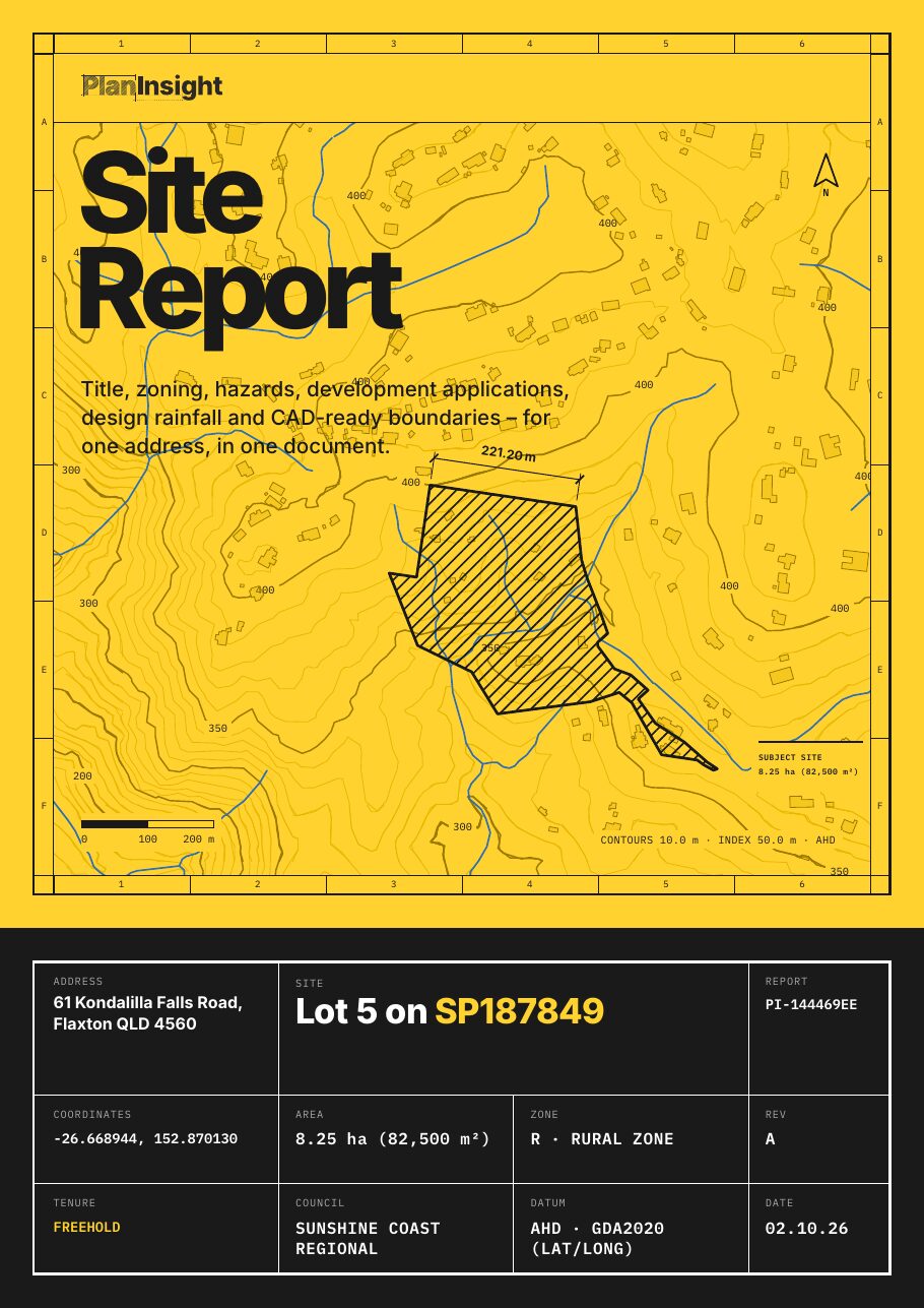
Search the address and get the constraints an architect or planner collects before concept design, for one lot, with dated sources and the site drawn in CAD. An hour of tabs, done in minutes.
What you get
The report checks the sources a site analysis needs and prints each one with its date. Where a source has nothing published for the lot, the section says so, so you know what was looked at.
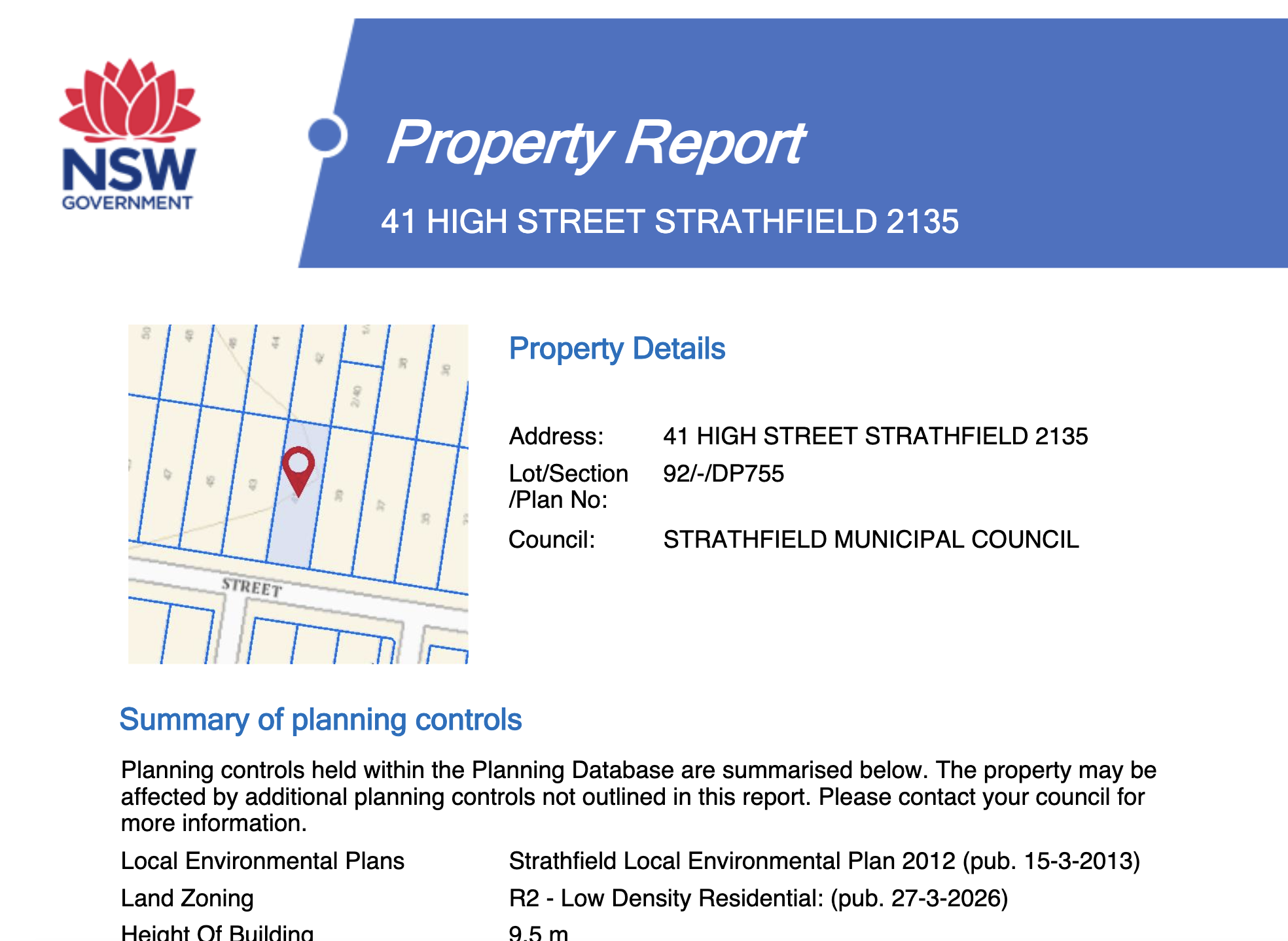
Lot and plan, land area, tenure and the cadastral boundary with building outlines.
The planning zone and every hazard overlay on the lot, with the share of the block each one covers.
Contours at the finest interval the state publishes, with watercourses and mapped water bores.
DAs on the lot and nearby, linked to the council records, so you can see what has been approved and refused.
The BOM 2016 IFD table for the exact site, with climate change factors to 2090.
A layered DXF with the boundary, buildings, contours, watercourses and overlays, drawn in metres.
Where it works
Sold in every state and territory. Zoning is included where we can read the council or state zoning data, which in Queensland means the councils on our coverage page, and the ACT has no state contour data yet. You see what the report will include before you pay.
Site Report · $29
Compiled from public state and council records, dated on every section, delivered as a PDF and a DXF.
One-off, no account. Emailed as a zip with the PDF and DXF.

It is the research behind one. The report collects the constraints and draws the site in CAD. The site analysis drawing, with orientation, views, noise and neighbours, is still yours to make, and the DXF is the base for it.
Architects and building designers before concept design, town planners before a pre-lodgement meeting, civil and hydraulic engineers before scoping, and buyers who want to know what they are bidding on.
The portal shows one layer at a time for the whole map. The report pulls every layer for one lot, prints the source and the date, and adds the state cadastre, BOM rainfall and the groundwater register, which no council portal has.
Use it to start. Anything you lodge still needs the council's planning certificate, a survey where the design depends on levels, and professional advice. The report tells you which of those you need.
One-off · No account · PDF and DXF