Free 12d to DXF converter

Turn a 12d Model ASCII file (.12da) into a DXF you can open in AutoCAD, Civil 3D, BricsCAD or QGIS. Each 12d model becomes a DXF layer. No 12d licence and no account needed.

Free converter

What you get

A DXF R12 file with your 12d data, coordinates unchanged.

✓ One DXF layer per 12d model
✓ Strings as polylines, 3D where they have levels
✓ Spot levels as points, labels as text
✓ TINs as 3D faces
✓ Your file is never stored
1

Upload your .12da file

2

We convert it to DXF

3

Download your DXF

File details

What the converter reads and writes

The converter follows the 12d Archive (12da) format published by 12d Solutions in the 12d Model reference manual.

Input

12d ASCII files (.12da) from any 12d Model version, in Unicode or older ANSI text, up to 10 MB. Binary .12d projects and zipped .12daz files are not supported: export or unzip a .12da first.

Output

DXF R12 (AC1009) ASCII, the most widely supported DXF version. Layers are named after your 12d models, with 12d colours kept where they have a standard CAD equivalent.

What converts

Super strings, plus the older 2d, 3d, 4d, pipe, polyline and text strings. Arcs are drawn as short chords. TINs become 3D faces. Drainage, alignment and trimesh data are skipped for now.

Coordinates & units

Copied exactly as they are in the 12da, with no reprojection. If your 12d project is on MGA, the DXF is on the same MGA zone. Units are metres.

FAQ

Frequently asked questions

How do I get a .12da file out of 12d Model?

In 12d Model, write the models you need out as 12d ASCII (File I/O > Data Output > 12da/4da data). If someone sent you a 12d project, ask them for a 12da export of the relevant models.

Can it convert a .12d project file?

No. A .12d project is a binary database that only 12d Model can read. The .12da text format is the one 12d Solutions publishes for exchanging data, so that is what this tool reads.

Are levels kept?

Yes. A string with a level at every vertex becomes a 3D polyline, and TINs keep their vertex levels. A string with missing (null) levels is written flat in 2D so it does not dive to zero.

Do you keep my file?

No. The file is converted in memory and discarded as soon as your DXF is sent. We only log that a conversion happened, its size and whether it worked.

Is it really free?

Yes, with no account and no credit card. A quick bot check protects the service, and there is a limit of a few conversions a minute.

Site Report · $29

Need the whole site, not just the model?

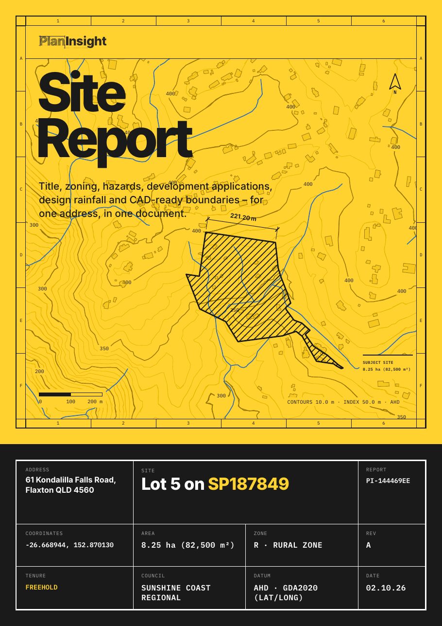
Title, zoning, overlays, DA history, contours and design rainfall for one lot, with a CAD-ready DXF.

  • Title details: lot and plan, land area and tenure
  • Zoning, where the council publishes it
  • Flood, bushfire and other hazard overlays, where mapped
  • Development application history for the lot
  • Contours and elevation
  • Land valuation (Queensland properties)
  • A CAD-ready DXF: property boundary, building outlines, elevation contours, watercourses and water bores, where the state publishes them

One-off, no account. Emailed as a zip with the PDF and DXF.