Free download
What you get
✓
BOUNDARY layer
✓
PARCEL_LABEL layer
✓
DXF format (AutoCAD, Civil 3D)
✓
No account required
1
Enter your property address
Select an address from the suggestions to start.
2
We fetch your boundary data
3
Get the cadastral boundary for any Australian address as a DXF file — drawn in metres, ready for AutoCAD, Civil 3D, QGIS, or any CAD software. No account required.
Free download
Select an address from the suggestions to start.
File details
Every file is generated on demand from your state government's digital cadastral database — not traced, not approximated.
Format
DXF R12 (AC1009) ASCII — the most widely supported DXF version. Opens in AutoCAD, Civil 3D, BricsCAD, QGIS, LibreCAD, and virtually any CAD or GIS package.
Units & coordinates
Drawn in metres, in a local coordinate system centred on your parcel — distances and areas measure true in CAD, no rescaling needed.
Layers
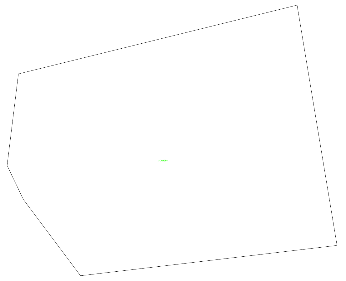
BOUNDARY — the parcel boundary as a closed polyline — and PARCEL_LABEL, the lot/plan identifier as text. Multi-part parcels keep every part.
Source data
State government open cadastral data, fetched live for your address. See our data attributions for sources and licences.
The free boundary download works Australia-wide. Enter any address and we resolve it against the right state's cadastre.
FAQ
A DXF R12 (AC1009) ASCII file. R12 is the most widely supported DXF version, so it opens in AutoCAD, Civil 3D, BricsCAD, QGIS, LibreCAD, and virtually any other CAD or GIS software.
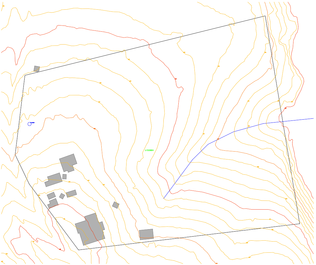
Two layers: BOUNDARY, with the parcel boundary drawn as a closed polyline, and PARCEL_LABEL, with the lot/plan identifier as text. PlanInsight subscribers can export the full file with up to 11 layer types, including building footprints, elevation-labelled contours, watercourses, and water bores.
The drawing is in metres, with metric units set in the DXF header. Geometry is projected from the state cadastre to a local coordinate system centred on your parcel, so lengths and areas measure true in CAD without rescaling. The file is not georeferenced to an MGA/GDA map grid zone — if you need it positioned on a survey grid, move it to your control in CAD.
All eight: Queensland, New South Wales, Victoria, South Australia, Western Australia, Tasmania, the ACT, and the Northern Territory. Boundaries come from each state or territory government's open cadastral data.
The boundary is taken from the state government's digital cadastral database — the same mapping-grade representation shown in state mapping portals. It shows where the cadastre maps the legal parcel boundary, which is suitable for site plans, concept design, and feasibility work. It is not a substitute for a cadastral survey: for legal boundary definition, engage a licensed surveyor.
Yes. The underlying cadastral data is published by Australian state and territory governments under open licences (predominantly Creative Commons Attribution). Attribution obligations for each source are listed on our data attributions page.
Yes — the boundary DXF is free, with no account and no credit card. A quick bot check protects the service. If you want the full multi-layer file for the same property, that comes with a PlanInsight subscription, which starts with a free trial.