For architects & building designers
The boundary, contours and existing buildings as a DXF, the zone and the overlays that shape the envelope, and what the council has already approved on the lot. One Site Report from one address, before the first sketch.
One-off · no account · sources and fetch dates on every page
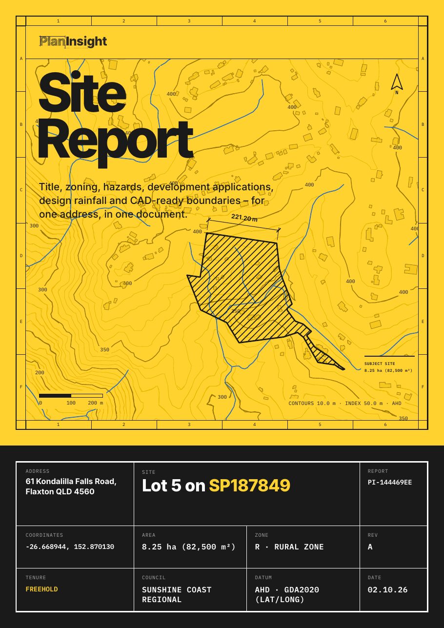
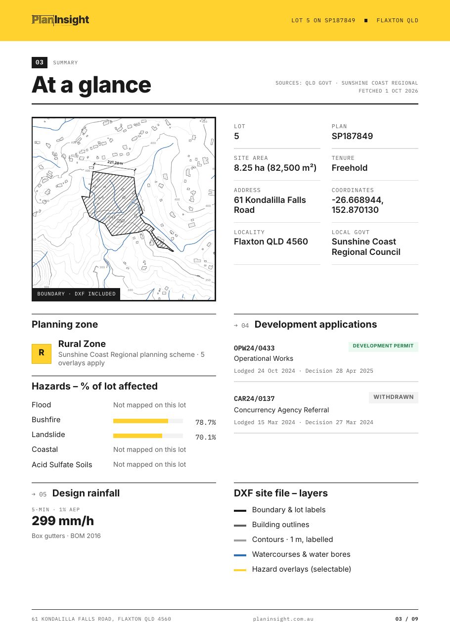
The job
Concept design runs on a short list of facts: the shape and size of the lot, how it falls, where the existing buildings sit, what the zone allows and which overlays add controls. A bushfire overlay can mean construction to a bushfire attack level; a flood overlay can set a minimum floor level. Knowing that early saves a redesign.
The Site Report puts the site into CAD first. The DXF has the boundary, contours and building outlines on separate layers in metres, clipped to the lot. The PDF shows the zone where the council publishes it and the hazard overlays that touch the lot, with the share each covers.
The DA history shows what has been lodged and approved on the lot, which is often the fastest way to learn what the council has accepted there before.

In the Site Report for concept design
DXF R12 in metres with boundary, contours, building outlines and watercourses, ready for AutoCAD, ArchiCAD, Revit or any CAD package that opens DXF.
Bushfire, flood, landslide and coastal overlays where the state or council maps them.
The zone and planning scheme where the council publishes it, with a link to the scheme.
What has been lodged and approved on the lot, with type, status and dates.
Lot, plan, area and tenure, with the lot drawn on a contour map.
The manual way
With the Site Report
Guides for this work
FAQ
Yes. It is a DXF R12 file in metres, which AutoCAD, ArchiCAD, Revit and most other CAD packages can import. It uses local coordinates about the lot centroid rather than MGA.
No. It shows whether a mapped bushfire overlay touches the lot and how much of it. The BAL comes from an assessment under AS 3959 by a qualified assessor.
Not in the Site Report. With a plan, the NSW Planning Portal property report generated from the property page lists the planning controls for the lot, including height and floor space ratio where they apply.
It is the state cadastre and published elevation data, good for site analysis and concept. Design development needs a detail and boundary survey.
Yes. Download the free boundary DXF, order a $29 Site Report for one lot, or start a 14-day free trial with no credit card.